Hey there! Are you curious about the size of Montana? Well, you’ve come to the right place. I’ll be diving into the vastness of this stunning state and unraveling its mind-boggling expanse.
When it comes to size, Montana doesn’t disappoint. Spanning thousands of square miles, it proudly takes its place as one of the largest states in the United States.
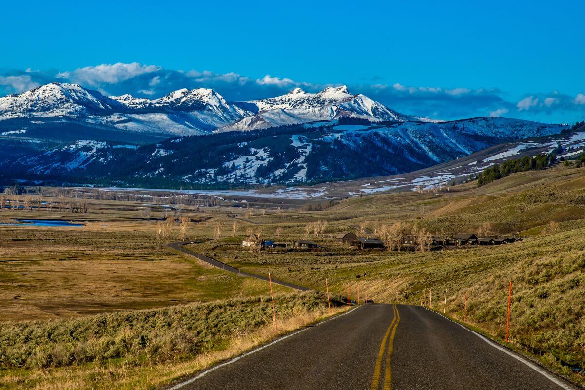
But it’s not just about its land size. The state’s sheer magnitude is on full display with its breathtaking mountain ranges, including the legendary Rocky Mountains.
From the mesmerizing vistas of Yellowstone National Park to the picturesque beauty found in Montana’s diverse landscapes, the display of size is like no other.
Whether you’re an adventurer seeking the untamed wilderness or a nature lover looking for a sizeable escape, this fascinating state has it all.
Pack your curiosity and prepare to be amazed by the sheer size and splendor of this remarkable state.
Montana: A Brief Overview
“The Treasure State” is a land that beckons with its awe-inspiring landscapes, rich history, and unique cultural heritage.
Montana officially joined the United States as the 41st state in 1889, marking a significant milestone in its journey.
And as of July 1, 2022, this state’s population stands at an estimated 1,122,867, a community that adds vibrancy and diversity to its already fascinating tapestry.
When it comes to governance and administration, the capital city, Helena, plays a vital role. It stands as a testament to the state’s commitment to responsible leadership and decision-making.
When it comes to size, it’s the bustling Billings that takes the crown as the largest city. Its energy and economic activity make it a hub of excitement and opportunity.
The state’s borders paint a picture of its diverse surroundings. To the north, it shares its boundary with the Canadian provinces of British Columbia, Alberta, and Saskatchewan.
To the east, it rubs shoulders with the U.S. states of North Dakota and South Dakota, bringing a sense of shared identity and connection.
Down south, Wyoming adds its unique flavor to the state’s borders, while Idaho graces its southwestern boundary.
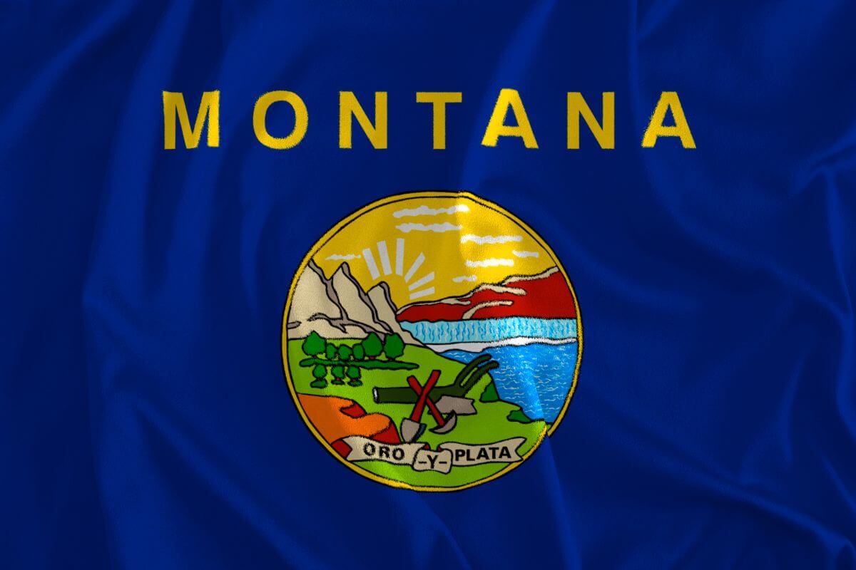
When it comes to representing Montana in the simplest yet recognizable way, we use the abbreviation “MT” on official documents and postal addresses, perfectly capturing the essence of this state.
Exploring Montana’s Geography and Topography
The state showcases a diverse and captivating landscape. This remarkable state is known for its 2 distinct geographical regions, each offering its own unique charm and allure.
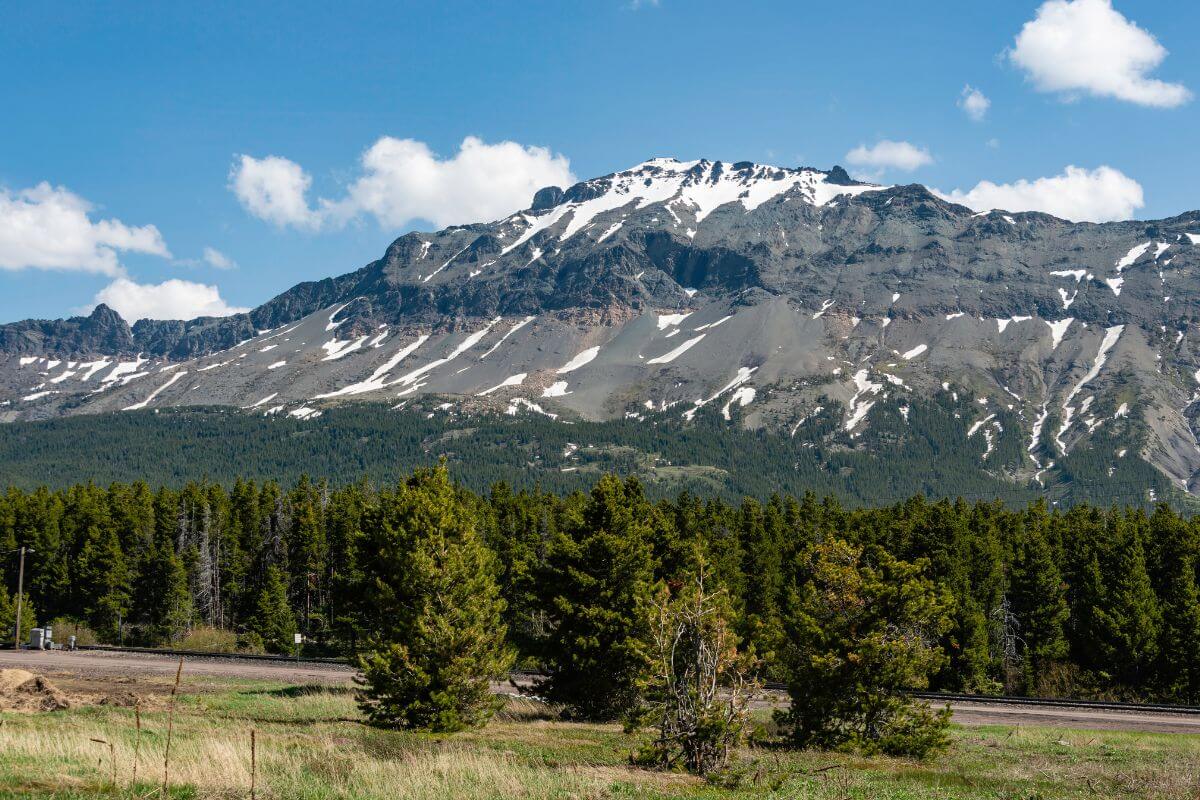
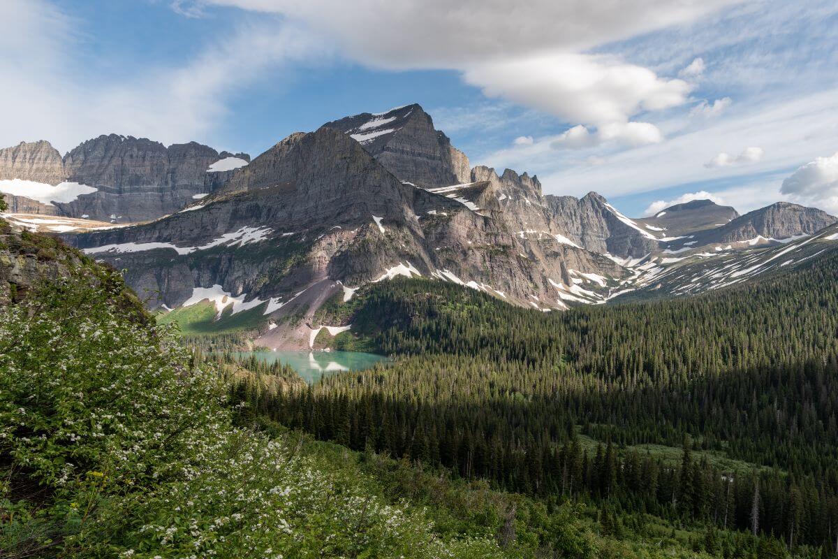
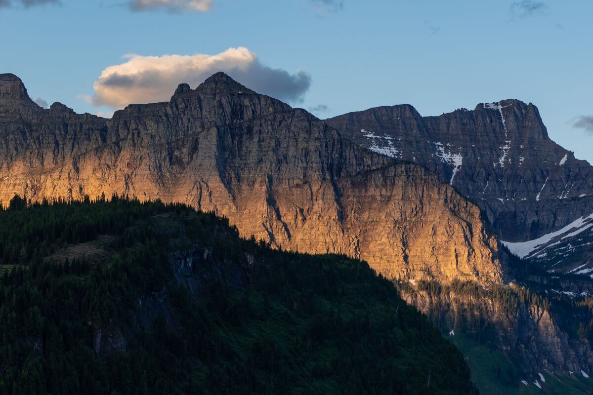
In the western 40% of the state, the rugged and majestic Rocky Mountain region takes center stage. Towering peaks and deep valleys shape the land, creating a breathtaking display of nature’s grandeur.
One of the crown jewels of this region is Glacier National Park, home to ancient glaciers that have stood proudly for over 7,000 years.
Exploring its remarkable trails and witnessing the mighty glaciers up close is an awe-inspiring experience that leaves a lasting impression.
Granite Peak, the highest point in the state, stands tall in this region, beckoning adventurers and mountaineers to conquer its summit.
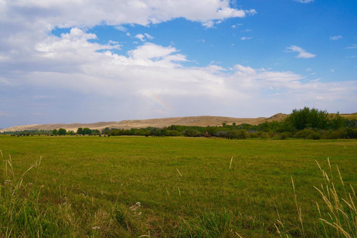
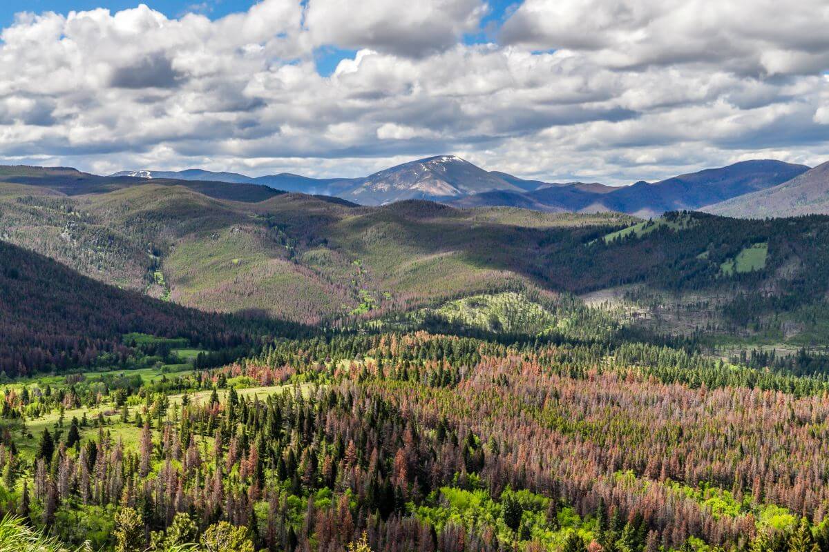
Moving eastward, Montana’s landscape transitions into the Great Plains region, covering the remaining 60% of the state.
Endless grassy plains stretch to the horizon, offering a serene and captivating backdrop. Gentle hills and meandering river valleys add tranquility, inviting visitors to immerse in nature’s beauty.
One notable highlight of this area is the Great Plains Badlands, a captivating and mostly desolate region adorned with vibrant and peculiar rock formations.
Exploring its vast expanse feels like stepping into a prehistoric world, where time stands still, and the forces of nature have left their mark.
How Big Is Montana?
Montana is a land of wild beauty and raw magnificence, boasting a landscape that stretches as far as the eye can see.
From its rugged Rocky Mountain region in the west to the vast grassy plains of the Great Plains in the east, it is a captivating display of Mother Nature’s grandeur.
But just how big is it, you might ask? Well, let me take you on a journey through its magnificent dimensions, where miles turn into breathtaking vistas and acres unfold into boundless possibilities.
- Check out Montana’s size compared to Europe
Montana’s Size in Acres
Montana spans a staggering 94,105,600 acres. With such a vast area, it’s no wonder that the state encompasses approximately 64.2% of land dedicated to farms and ranches in the United States.
This land coverage isn’t just about picturesque landscapes and wide-open spaces; it plays a significant role in agricultural production as well.
Its fertile soil and favorable climate have made it an agricultural powerhouse. Wheat, barley, hay, and potatoes are just a few of the notable crops that thrive in this fertile land.
To put the state’s size in perspective, it’s larger than the United Kingdom. It’s so vast that it could encompass the entire states of South Carolina and West Virginia combined.
Yet, despite its immense size, Montana has managed to retain a sense of intimacy and tranquility that enchants visitors and locals alike.
Montana’s Size in Square Miles
When you think about the state’s size, it’s hard not to marvel at the sheer scale of it all.
Montana, with an area of 147,040 square miles, is a state that is larger than life. It’s like having an entire world at your fingertips, ready to be explored and discovered.
If we were to measure its size in miles, it would stretch beyond comprehension.
The length and width of this state, 255 and 630 miles, respectively, make it a land of epic proportions. It’s a canvas painted with scenic marvels that leave you breathless.
Montana’s Size in Square Kilometers
Montana is known for its vast expanse and natural beauty. Utilizing the metric system, a standardized international measurement system, it covers a staggering 380,831 square kilometers of total area.
Now, the conversion from square miles to square kilometers might sound like a mundane mathematical exercise, but let me tell you, it’s far from it.
By using this unit of measurement, we can better understand the state’s immense size and appreciate its scale in international contexts.
Imagine, if you will, a landmass so vast that it could rival the dimensions of entire countries. Well, with its expanse of 380,831 square kilometers, Montana does just that.
It’s like a breathtaking tableau, displaying its magnificence for the world to see. From the towering mountain ranges to the vast open plains, its size is a true testament to the wonders of nature.
How Big Is Montana Final Thoughts
Montana, “The Treasure State,” beckons with awe-inspiring landscapes, rich history, and unique cultural heritage.
When it comes to Montana’s size, we measure it as 147,040 sq. miles, or 94,105,600 acres, or 380,831 square kilometers. This state’s grandeur knows no bounds.
So, whether we think of it in square miles, acres, or square kilometers, let us remember that these are just different measurements for the same breathtaking magnificence.
But it’s not just about the numbers; it’s the breathtaking, diverse landscape that truly showcases Montana’s immense size.
With its numerous mountain ranges, including the famous Rocky Mountains, it is a geographical marvel.
And let’s not forget Yellowstone National Park, a treasure trove of natural wonders nestled within its borders, further accentuating the state’s grandiosity.
Montana’s size goes beyond mere measurement; it’s a display of nature’s ingenuity, a testament to the wonders that this world has to offer.
It invites us to lose ourselves in its vastness, to wander through its open plains and explore its mountainous regions.
So, take a moment to wrap your head around the enormity of Montana, for it is truly a land of unparalleled size and beauty.
How Big Is Montana FAQs
1. Which States Have a Similar Size to Montana?
New Mexico, Montana, and California are three states with similar sizes. Among them, New Mexico has the smallest area with 121,590 square miles, while Montana is slightly larger with 147,040 sq mi.
On the other hand, California is the largest of the three states with an area of 163,695 square miles.
2. Does Montana Offer Any Skiing?
Yes, Montana offers skiing opportunities with several notable ski resorts, including Big Sky Resort, Whitefish Mountain Resort, Bridger Bowl, and others.
These ski areas attract winter sports enthusiasts with their diverse terrain and stunning mountain landscapes, making them a popular destination for skiing and snowboarding.
3. Is Montana Bigger Than the UK?
Yes, Montana is bigger than the UK. The state covers an area of approximately 147,040 square miles while the United Kingdom (UK) has an area of about 94,058 square miles.
4. How Does Montana’s Size Compare to Other States?
When it comes to size, Montana is larger in size compared to most countries, but it is smaller than the United States’ largest states, Alaska, Texas, and California.
If you’re interested in diving deeper into Montana, stay involved with these articles:
- https://www.census.gov/quickfacts/fact/table/MT/PST045222
- https://www.nass.usda.gov/Statistics_by_State/Montana/Publications/Special_Interest_Reports/MT_2016_Ag_Facts_04192017.pdf
- https://www.umt.edu/center-rocky-mountain-west/region/
- https://www.census.gov/geographies/reference-files/2010/geo/state-area.html
- https://spot.colorado.edu/~beer/COUNTRIES/UNITED%20KINGDOM/index.html