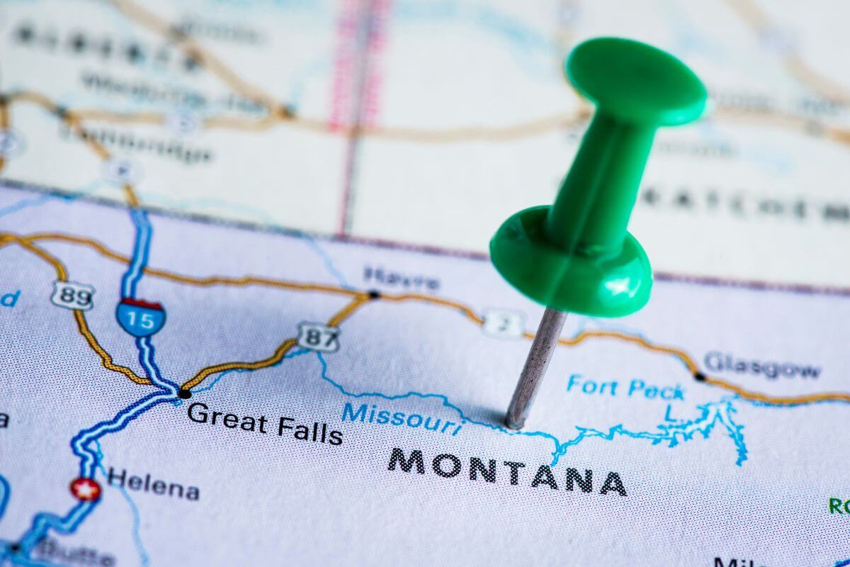
Have you ever wondered how long it takes to reach the vast landscapes of Montana, from its iconic national parks to its charming small towns? Today, we’re diving into the nitty-gritty of travel times, distances, and the best modes of transportation to get you to the Treasure State.
The answer to your burning question depends on where you’re starting your journey. Whether you prefer the convenience of air travel, the flexibility of a road trip, or the scenic allure of a train ride, we’ve got you covered. So, let’s embark on this virtual journey to Montana and discover the best routes and travel times to suit your needs.
If you’re someone who loves to plan ahead or you’re simply curious about the logistics of getting to Montana, this article is your treasure box of information.
- Related article: Essential Tips for Montana Travel
From flight durations to driving distances, we’ll explore the pros and cons of each mode of transportation, so you can make an informed decision for your next Montana adventure. So, are you ready to unlock the secrets of travel times to the Big Sky Country? Let’s get started!
7 Key Takeaways on How Long Does It Take To Get to Montana
- Montana offers easy access via airports like Bozeman Yellowstone, Missoula, Billings, Great Falls, Helena, and Kalispell.
- Flight times vary from 2 to 5 hours depending on your departure location within the U.S.
- Driving from cities like Chicago or Sacramento takes about 16 to 33 hours, providing flexibility in travel options.
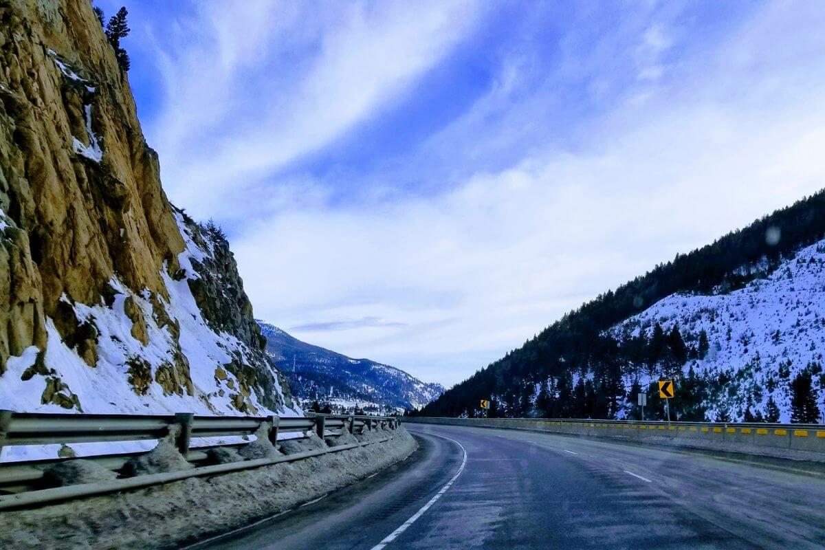
- Road trips to Montana promise captivating landscapes and scenic routes, allowing travelers to immerse themselves in the state’s gorgeous views.
- Besides air and car travel, buses like Greyhound connect cities in about 24 hours, while passenger trains like Amtrak’s Empire Builder take 45 hours from Chicago to Montana.
- Montana’s bus services link within the state and to neighboring areas like Utah, Idaho, Wyoming, and Washington.
- Each travel mode — air, road, bus, or train — offers a distinct experience catering to varied preferences in time, cost, and the journey’s essence.
Travel to Montana via Plane
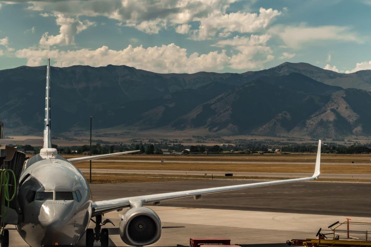
When it comes to traveling to Montana by plane, the distance varies greatly depending on your departure location. It’s approximately 1,000 miles (1,609 km) from the West Coast and about 2,000 miles (3,218 km) from the East Coast.
Commercial jetliners in the U.S. typically travel at average flight speeds of 500 to 600 miles per hour (around 805 to 966 km per hour), which means the quickest flight to Montana, if you are from any U.S. state can range from 2 to 5 hours.
Here are some of the major airports in Montana where you can land:
- Bozeman Yellowstone International Airport (BZN) – Located near Bozeman, it serves the southwest region of Montana, including Yellowstone National Park.
- Missoula International Airport (MSO) – Serving the western part of the state, including Missoula and surrounding areas.
- Billings Logan International Airport (BIL) –Located in Billings, it serves the southeastern part of Montana.
- Great Falls International Airport (GTF) – Serving the central part of the state, including Great Falls and nearby areas.
- Helena Regional Airport (HLN) – Located in Helena, the state capital, serving the central region.
- Kalispell Glacier Park International Airport (FCA) – Serving the northwest part of the state, including Kalispell and Glacier National Park.
These airports connect Montana to various domestic destinations, providing both regional and national air travel options.
While we’ve done the math on travel times, it’s essential to remember that factors like taxiing, takeoff, landing, and even the occasional weather hiccup can add extra minutes or hours to your journey.
Montana flight pricing also varies depending on the seasonality, demand, booking timeframe, and other factors.
To stay on top of things, always check your flight status with the airline or via major airlines’ websites directly. For a smoother travel experience, consider using a travel planner.
Travel Distance to Montana From Other States
If you’re planning a trip to Montana, the first thing you’ll want to know is how long it takes to get there.
The answer depends on where you’re coming from. Let’s explore the travel times from some major U.S. states to give you a better idea of what to expect.
Travel Distance via Plane
If you’re like me and prefer to reach Montana’s vast landscapes in the blink of an eye, hopping on a plane is the way to go.
Here’s a breakdown of average flight times and distances from various state capitals to Billings, Montana.
| Location | Average Flight Time to Billings | Distance to Montana |
| Sacramento, California | Around 2 hours and 16 mins | Approximately 838 miles (1,349 km) |
| Chicago, Illinois | Around 3 hours | Approximately 1,130 miles (1,818 km) |
| Raleigh, North Carolina | Around 4 hours | Approximately 1834 miles (2,952 km) |
| Austin, Texas | Around 3 hours | Approximately 1,169 miles (1,881 km) |
| Tallahassee, Florida | Around 4 hours and 30 mins | Approximately 2,049 miles (3,297 km) |
| New York, New York | Around 4 hours | Approximately 1,763 miles (2,837 km) |
| Harrisburg, Pennsylvania | Around 4 hours | Approximately 1,698 miles(2,732 km) |
| Cleveland, Ohio | Around 3 hours and 30 mins | Approximately 1,444 miles (2,324 km) |
| Atlanta, Georgia | Around 4 hours | Approximately 1,769 miles (2,847 km) |
| Lansing, Michigan | Around 3 hours | Approximately 1,277 miles (2,055 km) |
These commercial flight times are just an estimate, so it’s always a good idea to check with your airline for the most up-to-date information.
Once you’ve landed in Billings, you’re just a short drive or another flight away from many of Montana’s other incredible destinations.
Travel Distance via Car
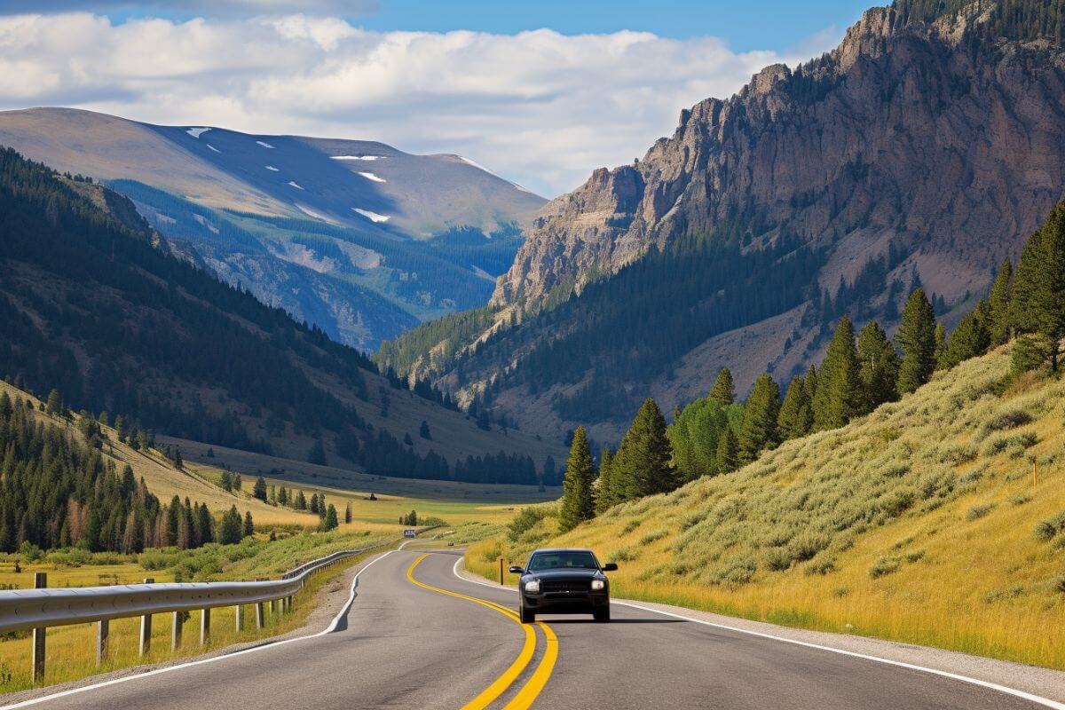
Montana can be a great destination for a road trip. The driving distance can vary depending on where you are starting from. The typical traffic conditions for different routes should also be taken into consideration when planning your journey.
Below is a summary of travel durations and distances by car from different capital cities to reach Billings, Montana.
| Location | Average Drive Time to Billings | Distance to Montana |
|---|---|---|
| Sacramento, California | Around 16 hours and 44 minutes | Approximately 1,090 miles (1,754 km) |
| Chicago, Illinois | Around 17 hours and 59 minutes | Approximately 1,224 miles (1,970 km) |
| Raleigh, North Carolina | Around 32 hours and 3 minutes | Approximately 2,065 miles (3,323 km) |
| Austin, Texas | Around 21 hours and 34 minutes | Approximately 1,473 miles (2,371 km) |
| Tallahassee, Florida | 30 hours and 32 minutes | Approximately 2,064 miles (3,322 km) |
| New York, New York | Around 29 hours and 57 minutes | Approximately 2,018 miles (3,248 km) |
| Harrisburg, Pennsylvania | Around 29 hours and 4 minutes | Approximately 1,890 miles (3,042 km) |
| Cleveland, Ohio | Around 24 hours and 9 minutes | 1,576 miles (2,536 km) |
| Atlanta, Georgia | Around 27 hours and 49 minutes | Approximately 1,832 miles (2,948 km) |
| Lansing, Michigan | Around 21 hours, 3 minutes | Approximately 1,441 miles (2,319 km) |
Driving to Montana can offer a fun road trip experience as the state has scenic routes that are perfect for land travel.
Before embarking on your road trip, make sure to have a travel guide to ensure a smooth, enjoyable, and timely travel experience.
Other Alternative Travel Options to Montana
Aside from air travel and driving, alternative transportation methods provide options to reach Montana.
These alternative modes open up diverse, affordable, and often scenic travel experiences for those heading to the Big Sky Country.
Travel to Montana via Bus or Train
If you’re up for a more leisurely journey or simply want to kick back and enjoy the scenery, hopping on a bus or train to Montana might be just the ticket.
Montana boasts a robust network of bus services, including Greyhound, FlixBus, Jefferson Lines, and Express Arrow, ensuring excellent connectivity throughout the state.
These services link major cities and even offer routes to neighboring states like Utah, Idaho, Wyoming, and Washington.
For example, you can catch a Greyhound from Chicago to Billings, with stops at the Minneapolis Bus Station and Minneapolis Bus Depot.
Expect the journey to take around 24 hours and 17 minutes, give or take a few minutes for traffic and rest stops.
Another alternative option is by riding a passenger train and Amtrak’s Empire Builder route is your scenic ticket to Montana.
This route stretches from Chicago to Seattle or Portland, with stops in several Montana cities, including Whitefish, West Glacier, and East Glacier Park.
The whole journey clocks in at around 45 hours, but hey, you’re in it for the experience, right?
Ticket prices for both bus and train travel can vary. On the train, you’ll find different seat types, with business seats typically being pricier.
Bus fares may fluctuate depending on factors like the bus operator, distance, travel speed, and the number of stops and passengers.
How Long Does It Take To Get to Montana Final Thoughts
To wrap up our exploration of the various routes to Montana, let’s highlight some of the key takeaways.
Montana is interconnected and accessible to major cities across the United States, and commercial flights can significantly cut down travel time compared to other modes of travel.
However, bear in mind that average flight durations and distances vary depending on your departure location.
Factors like wind speeds, delays, weather conditions, and airport wait times can also influence your total travel time.
Major airlines like American Airlines, Delta, and United provide various routes to Montana, serving key airports like Bozeman Yellowstone International Airport and Missoula International Airport.
If you prefer a more grounded journey, traveling by car, bus, or train is also an option.
While these modes of transportation generally take longer, they offer a chance to soak in the scenic beauty en route.
My recommendation? If you’re not strapped for time, consider a road trip to Montana.
The journey itself becomes an adventure, with winding roads, mountain vistas, and charming pit stops along the way. But if time is of the essence, flying is your best bet.
Getting to Montana is more accessible than you might think. Whether you opt for the convenience of air travel or the leisurely pace of a road trip, the Treasure State awaits with its majestic landscapes and warm hospitality.
How Long Does It Take To Get to Montana FAQs
1. What Month Is It Cheapest to Fly to Montana?
January stands out as the most economical month for flying to Montana, offering the cheapest fares.
Similarly, February also presents affordable options for flights to the state. While flight prices surge during the holiday season, they notably decrease once the season concludes.
2. What’s the Cheapest City to Fly Into Montana?
Billings Logan International Airport stands as Montana’s largest and most efficient airport, making it a cost-effective choice for travelers seeking affordable access to the state.
3. Does Montana Have Any International Airports?
Yes, Montana has several international airports. Here are a few of them:
- Great Falls International Airport located in Great Falls
- Bozeman Yellowstone International Airport located in Belgrade
- Glacier Park International Airport located in Kalispell
- Missoula International Airport located in Missoula
4. Where Do You Fly Into for Yellowstone?
Bozeman Yellowstone International Airport serves as a gateway to Yellowstone National Park and offers direct flights from various airlines such as Alaska Airlines, Delta Air Lines, United Airlines, and American Airlines.
5. What Companies Run Services Between North Carolina and Montana?
For airline companies, Southwest Airlines, American Airlines, and Delta Airlines fly from Charlotte to Belgrade hourly.
Bus companies such as Greyhounds and Jefferson Lines also offer bus rides from Charlotte to Billings via Atlanta Downtown, Civic Center Station, Arts Center Station, Chicago Bus Station, and Minneapolis Bus Depot.
Getting more curious about Big Sky Country? Explore this fascinating state further through these articles: