Silken Skein Falls is a hiking experience you don’t want to miss. This 240-foot waterfall in Custer Gallatin National Forest near Bozeman flows smoothly through the trees to create a breathtaking scene.
The path to Silken Skein Falls on the Hyalite Creek Trail is beautiful but challenging, taking you across Montana’s stunning wilderness. There are also other trails nearby suited for hikers of various skill levels.
- Related article: Waterfall Marvels in Montana
I will guide you to the falls, share the best times to visit, and introduce you to nearby trails. Whether you’re a seasoned hiker seeking a challenge or enjoying a peaceful walk in nature, the trails around Silken Skein Falls offer something special for everyone.
5 Key Takeaways on Silken Skein Falls
- Silken Skein Falls in Custer Gallatin National Forest near Bozeman is easily accessible via Hyalite Canyon Road. It boasts a captivating multi-drop structure amid trees.
- Visitors can reach Silken Skein Falls by driving south from Bozeman on Hyalite Canyon Road, then taking the right fork after the reservoir to the Hyalite Creek Trailhead parking lot. A hike along the Hyalite Creek Trail leads to the falls from there.
- Surrounding the Silken Skien Falls are various hiking trails like the Hyalite Lake Trail and History Rock to Fox Meadow Trail. These tails showcase stunning natural scenery and wildlife.
- The Window Rock Road Trail, an 8.1-mile route suitable for hikers, bikers, and runners, offers breathtaking views of Window Rock.
- Visitors can explore the Palisade Falls National Recreation Trail for a leisurely hike to Silken Skein Falls. It offers a wheelchair and stroller-friendly path spanning 1.2 miles to the scenic Palisade Falls.
Where Is Silken Skein Falls?
| Location Coordinates | Height | Elevation | Nearby Attractions | Location |
| 45.42° N, -110.9525° W | 240 feet | 8,090 feet (2,470 meters) | Grotto Falls, Hyalite Creek, and Palisade Falls | Custer Gallatin National Forest in Hyalite Canyon, near Bozeman |
Silken Skein Falls is a beautiful waterfall in Custer Gallatin National Forest, along Hyalite Canyon Road near Bozeman. You can find it along the Hyalite Creek Trail, about 2.4 miles (3.9 km) from the trailhead.
“Skein” refers to a tangle or complicated arrangement of objects or situations, and Silken Skein Falls lives up to this definition. It falls gracefully down through a cluster of trees.
This waterfall comprises five separate drops. The final drop is known for being an amazing sight as it forms a delicate waterfall that resembles strands of silk.
How to Get to Silken Skein Falls by Car:
- Drive south from Bozeman on Hyalite Canyon Road.
- At the fork after the reservoir, keep right to reach the Hyalite Creek Trailhead parking lot.
- Start hiking uphill on the Hyalite Creek Trail which is part of a 15-mile (24 km) round trip to the summit of Hyalite Peak.
- Look for a marked off-shoot trail about halfway of the Hyalite Lake Trail. This route leads to Silken Skein Falls.
- Follow the off-shoot trail for a quarter-mile to reach the falls.
- Enjoy the scenery and then return the same way to the trailhead.
Where to Go Hiking Near Silken Skein Falls
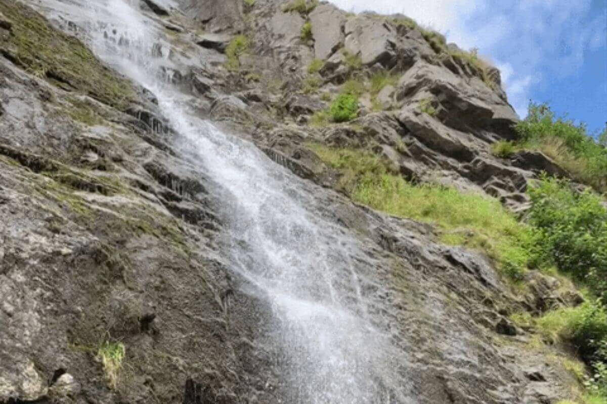
There are many outstanding hiking trails in the Custer Gallatin National Forest, particularly in the nearby area of Silken Skein Falls.
These trails offer breathtaking views of the surrounding natural beauty and provide hikers with an opportunity to take part in nature and explore the rugged wilderness.
1. Hyalite Creek to Hyalite Lake Trailhead – Trail With 9 Waterfalls
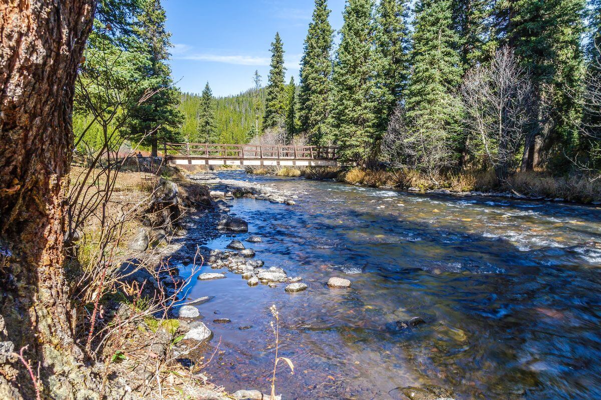
| Starting Point | Elevation Gain | Trail Lenght | Route Type |
| Hyalite Canyon Road | 2,200 feet | 10.6 miles | Out-and-back |
Check out the Hyalite Lake trail if you enjoy hiking and love waterfalls. It’s a 10.6-mile-long trail that takes you on a beautiful journey through nature.
During your hike on the Hyalite Lake trail, you will see not just one or two, but nine waterfalls along this route! And the best part is, eight of these waterfalls are directly accessible from the trail itself. One of these waterfalls is Silken Skein Falls.
Going to the falls requires a short secondary trail to access. But don’t worry, it’s not too far off the main Hyalite Lake Trail, so you won’t miss it.
You will be rewarded with the sight of Hyalite Lake at the end of the trail. This small glacial lake offers a peaceful spot where you can take a break, have a picnic, or simply soak in the beauty of nature.
You can continue from Hyalite Lake and hike another 2.6 miles to reach the summit of Hyalite Peak. It’s a great option if you want to extend your hike and challenge yourself.
2. History Rock to Fox Meadow Trailhead – Trail With Beautiful Wildflowers
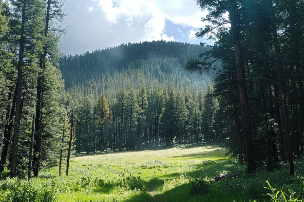
| Starting Point | Elevation Gain | Trail Length | Route Type |
| South Cottonwood Trailhead or from Hyalite Canyon/Langohr Road area | 6,710 feet | 6.2 miles | Out-and-back |
The trailhead for the History Rock to Fox Meadow trail is located north of Hyalite Reservoir on Hyalite Canyon Road. It’s a 6.2-mile out-and-back trail that takes you through scenic views of Hyalite Canyon and Mount Blackmore.
The trail offers a challenging but rewarding hiking experience with an elevation gain of 1,555 feet. You’ll be greeted by breathtaking sights as you make your way through a forest along the way.
One of the highlights of this trail is the Fox Meadow, a beautiful spot known for its vibrant wildflowers, especially in late spring. This makes it a popular destination for wildflower lovers looking to witness the colorful flowers in the area.
3. Window Rock Road Trail – Trail for Hikers, Bikers, and Runners
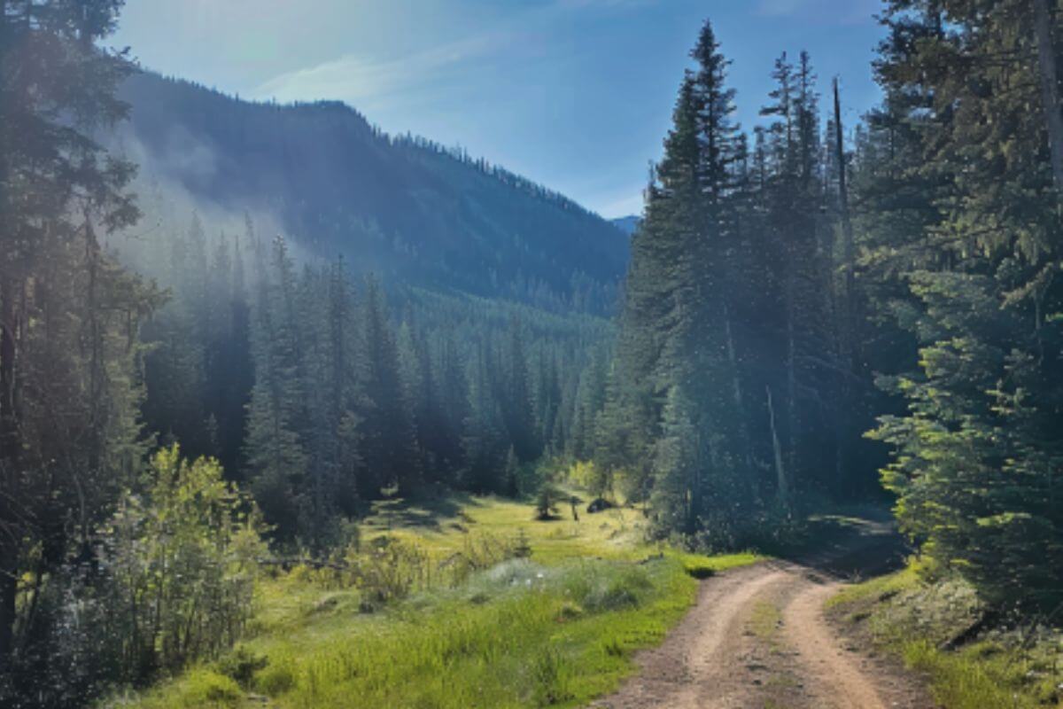
| Starting Point | Elevation Gain | Trail Length | Route Type |
| Near the end of Hyalite Canyon Road | 1,400 feet | 8.1 miles | Out-and back |
The Window Rock Road Trail offers one of the most beautiful views along an 8.1-mile, out-and-back trail. This nice multi-use trail is an old logging road that has been converted for hikers, bikers, and runners to enjoy.
You’ll need to head to the end of Hyalite Canyon Road, north of the Hyalite Lake Trail trailhead to start your hike. From there, you’ll discover six long switchbacks that help make the 1,400 feet of elevation gain more manageable.
You’ll catch glimpses of Window Rock throughout the trail. This unique formation can be seen from various points along the route, but the best view is from the trailhead parking lot.
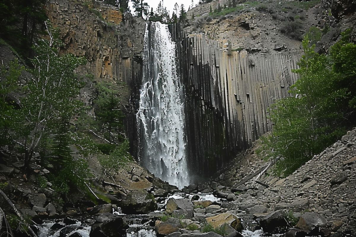
4. Palisade Falls National Recreation Trail – Wheelchair and Stroller-Friendly Trail
| Starting Point | Elevation Gain | Trail Length | Route Type |
| Left fork off Hyalite Canyon Road just past Hyalite Reservoir | 7,200 feet | 1.2 miles | Out-and back |
The Palisade Falls National Recreation trail is a great choice for those looking for an easy outdoor adventure.
You’ll be greeted by the stunning 80-foot waterfall called Paradise Falls at the end of the trail. This waterfall is a must-see attraction for both locals and hikers.
The Palisade Falls National Recreation trail spans 1.2 miles out and back, making it a manageable hike for people of all ages and fitness levels. What’s more, the path is paved, making it wheelchair and stroller-friendly.
This trail is popular because it is short and has a paved surface, making it perfect for people who want to enjoy nature without a long hike. The forest shades the waterfall, creating a cool and refreshing place to relax in the summer.
You can even access the trail during winter, though there will be tough switchbacks near the end. These areas can be challenging for skiers to navigate, so extra caution is advised during the winter months.
Silken Skein Falls Final Thoughts
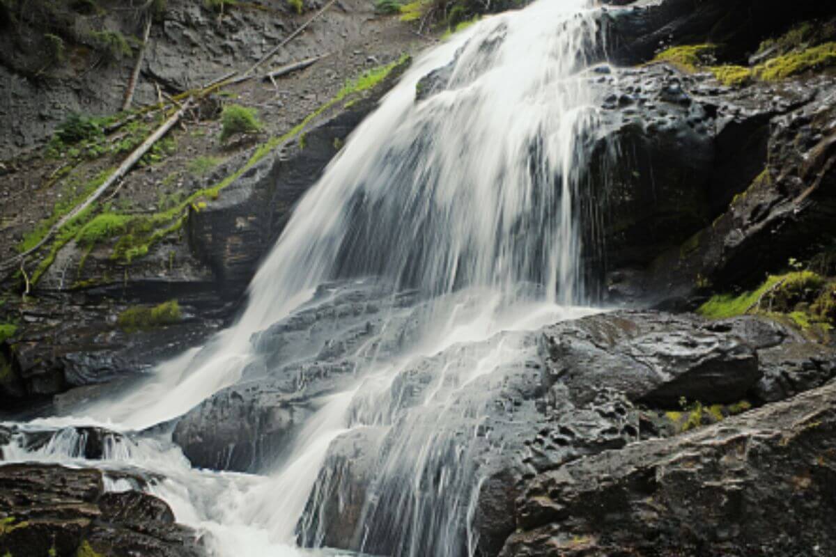
This area offers various hiking trails for all skill levels. The Hyalite Creek to Hyalite Lake Trail features nine waterfalls, including Silken Skein Falls, and leads to the peaceful Hyalite Lake. If you’re a fan of wildflowers, the History Rock to Fox Meadow Trail is particularly beautiful in late spring.
The Window Rock Road Trail gives amazing views over an 8.1-mile route. The Palisade Falls National Recreation Trail is an accessible, easy path ideal for wheelchairs and strollers, leading to the beautiful 80-foot Paradise Falls.
If you want a hard hike or a simple walk, the trails around Silken Skein Falls offer unforgettable experiences in Montana’s beautiful wilderness. Enjoy these trails and the natural beauty of Hyalite Canyon.
Silken Skein Falls FAQs
1. How Do I Access Silken Skein Falls?
To get to Silken Skein Falls, you’ll hike on the Hyalite Creek Trail in Custer Gallatin National Forest near Bozeman, Montana. The falls are about 2.4 miles from the trailhead. Look for a marked trail branching off to the falls.
2. When Is the Best Time to Visit Silken Skein Falls?
The best time to see Silken Skein Falls is in spring and early summer when the snow and rain make the water flow stronger. But the falls look beautiful all year, so you can visit anytime and enjoy their beauty.
3. Is the Hike to Silken Skein Falls Suitable for Beginners?
The path to Silken Skein Falls is a bit hard, with a short uphill walk from the main Hyalite Lake Trail. It might be okay for beginners who’ve hiked a bit, but get ready for some exercise.
Keep exploring! Our archives are full of content about Montana that you’ll find fascinating:
- Explore Montana’s Sil Vous Plait Falls
- Guide to Montana’s Skalkaho Waterfall
- Swiftcurrent Waterfall Guide
- Hike to Virginia Waterfall in Montana

